Hiking in Milos, as in all the Greek Cyclades, is not about altitude. It is about walking across a landscape that mining and volcanic activity left behind: white rock shelves, sulphur-yellow cliffs, footpaths linking fishing hamlets. Most of the good routes take between 45 minutes and three hours, and nearly all of them end somewhere you can swim.
In this guide
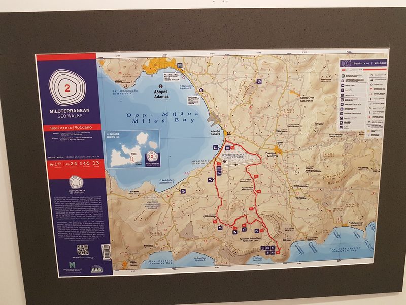
The Greek island of Milos packs a lot into short distances: you can leave a village of whitewashed lanes, cross a ridge of bare volcanic rock, and stand above an abandoned mine within half an hour. The interior is scrubby and treeless; the interest is at the edges.
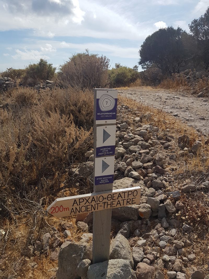
The organising idea to know about is the Miloterranean Geo Experience, a live, signposted network of six self-guided routes linking the island's geological points of interest, including the prehistoric obsidian quarry, the Fylakopi site and old sulphur mines. Its panels explain what you are looking at, which matters more here than on most Greek islands: half of what makes Milos strange is invisible unless somebody tells you it was once a sulphur pit. Whether printed trail maps are still handed out locally is worth checking with the Milos Mining Museum in Adamas before you set off; the routes and their signage are current.
I have walked here in June and in late September, and September wins comfortably for its softer light, ground that has stopped radiating heat by mid-afternoon, and nobody else on the path.
What Is Hiking in Milos Actually Like?
There is no alpine walking here, no forest, no all-day traverse. What the island asks of you instead is tolerance for exposure. Sun bounces back off pale rock, wind has nothing to break it, and there are long stretches without shade.
The paths range from properly maintained to barely there: stone-laid mule tracks, then a line of cairns across bare hillside, then a rubbly descent that winter rain has rearranged. None of it is difficult, but the surface changes every few hundred metres, from dirt to loose scree to smooth volcanic slab that turns slick under dust. Walking is also often the only way in, since several of the best coastal spots have no road, or a road so poor that your hire-car insurance quietly stops applying halfway along it.
Which Are the Best Hiking Trails in Milos?
The Trypiti Cluster (45 minutes to 2 hours)
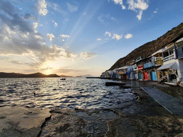
If you only do one walk, do this one. From Trypiti village and the catacombs, an easy path drops past the Roman theatre to the fishing village of Klima, 2.5 km and 45 minutes at a wander. On the way you pass the spot where a farmer turned up the Aphrodite of Milos in 1820; a replica now stands there looking out at the Aegean.
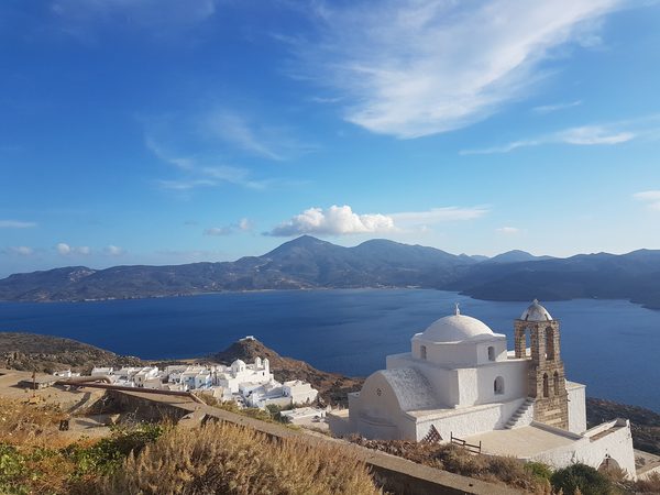
A second version branches uphill to the chapel of Profitis Ilias instead of dropping to the coast. Both join onto the climb from Plaka past the Panagia Thalassitra church to the Venetian castle. That one is less a hike than a short, steep stair climb, with one of the best views in the Cyclades at the top.
Do the castle climb in the evening. The stone gives its heat back for hours after the sun has gone, and an afternoon attempt costs you the sunset that is the point.
The North Coast: Fylakopi to Mandrakia (9 km / 3 hours)
The longest popular coastal route strings the north-shore highlights together: Fylakopi, the sea caves at Papafragas, Pahena, Agios Konstantinos, Mytakas, Sarakiniko and finally Mandrakia. Three hours of coastal walking, and it reaches the lunar rock shelves of Sarakiniko without you fighting for a parking space.
The catch is wind. This coast faces north, so on a meltemi day it is loud, gritty and hard work, and the swimming stops are ruled out anyway. Save it for a calm day.
Agios Ioannis Siderianos to Kleftiko (45–50 minutes each way)
Most people arrive at Kleftiko by boat and never realise you can walk there. You can, and the view down onto those white rock arches is one the boat passengers never get.
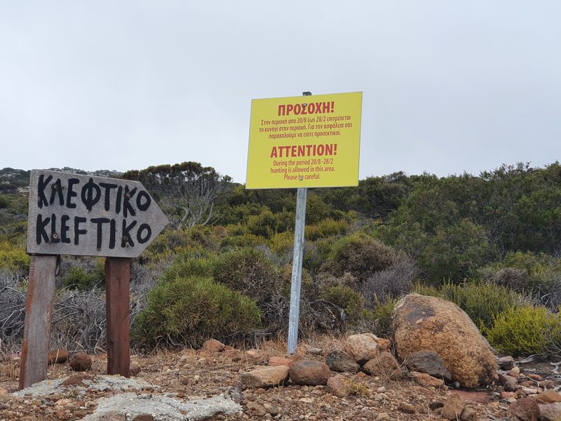
The path starts roughly two kilometres past the monastery of Agios Ioannis Siderianos. The dirt road to the monastery is usually fine; the stretch beyond it is rough enough that most hire cars should stop there. Budget 40–50 minutes each way from the trailhead. That is what the descent cost me without rushing, and the return climb is no quicker. The path is easy to follow, steep in places, and offers no shade or water at any point.
A shorter path nearby runs to the Sikia sea cave, 2.5 km and an hour. On one visit it was closed after heavy rain, though it is an unmanaged natural-terrain trail that reopens once the ground dries out rather than a facility with formal closures, and it was open again as of 2026. The Kleftiko trailhead itself is unchanged: still a marked path from the sign past the monastery, with the boat remaining the way most people actually get there.
Longer and Quieter Routes
- Zefyria to Agia Kyriaki beach. 5 km, about 2 hours, ending at a sheltered sandy beach with tavernas.
- Cape Vani to Agia Marina. 12 km, around 5 hours. The most serious walk on the island: old manganese workings, no facilities, carry everything.
- Adamas to Katsogria and Profitis Ilias. About an hour, and the easiest to start straight from the port.
- Katsogria – Ai Giorgis – Agia Marina – Rivari – Embourios. A west-side traverse through empty country, ending at the island's only western settlement.
- Pollonia to Fylakopi. Short, coastal, an early-evening leg-stretch.
When Is the Best Time to Go Hiking in Milos?
Spring (April to early June). The best of it. Hillsides still have colour and temperatures suit a three-hour walk without special measures.
Summer (July to August). Midday walking is a bad idea, with no shade and pale rock throwing heat back at you. Start at first light and finish by ten, or wait until the sun drops. The meltemi takes the edge off the temperature, which is a mixed blessing: it makes exposed ridges harder work, not easier.
Autumn (mid-September to October). My own preference, since the sea is still warm enough to swim at the end of every walk and the crowds have thinned.
Winter. Walkable and often lovely, but paths degrade after storms and almost nothing on the beaches is open.
What Should You Know Before Setting Off?
- Wear closed shoes. Plenty of the shorter routes get done in sandals. It is still the wrong call on volcanic rock, which is abrasive, sharp-edged where it has fractured, and slippery under dust. Trainers cover most routes; a descent to a beach deserves proper soles.
- Milos has vipers, and the bite of the local red viper can be deadly. It turns up in the remote west around Kleftiko and Agios Ioannis. Keep ankles covered, stay on the path, and look before putting a hand on a rock ledge.
- Carry more water than feels sensible. Don't count on finding water anywhere on a trail, and on most routes there is no canteen at either end. What turns up at Sarakiniko's car park is an inconsistent seasonal food truck, not something to plan around, and Kipos has one hillside taverna above the beach. Heading west, it is the last place to count on buying anything at all.
- Take a real map. Reception is patchy in the west and marked routes are not always obvious on mapping apps. Terrain Maps and Anavasi both publish good hiking maps of the island.
- Check the wind before choosing a route, not after. North wind, walk the south coast. South wind, walk the north. It is the most useful planning habit on Milos, and it applies to walking as much as to swimming.
Can You Combine Hiking With Beaches?
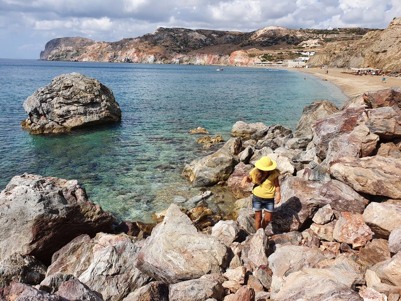
That is really the point of walking here. Almost every route above finishes at, or passes, somewhere you can swim, so a swimsuit and towel belong in the daypack. Several of the better spots are reachable on foot and awkward otherwise: Psaravolada and the coves beyond Agia Kyriaki among them. Tsigrado ends its short walk with a rope descent, which is either the highlight of your day or a firm no.
The full picture of what is where, and which coast to pick in which wind, is in the Milos beaches guide; hiking sits alongside boat trips and mining history in the wider things to do in Milos rundown.
Hiking in Milos, in the Cyclades, means short walks on volcanic terrain, not mountain days. Most named routes run 45 minutes to 3 hours: Trypiti to Klima is 2.5 km in about 45 minutes, and Kleftiko is 45–50 minutes each way from a trailhead two kilometres past the Agios Ioannis Siderianos monastery. Spring and autumn are the seasons for it. No shade, no water on the trails, and the wind decides which coast you walk.
Planning the rest of your island time? Start with our complete Milos travel guide.
Last updated: 1 August 2026